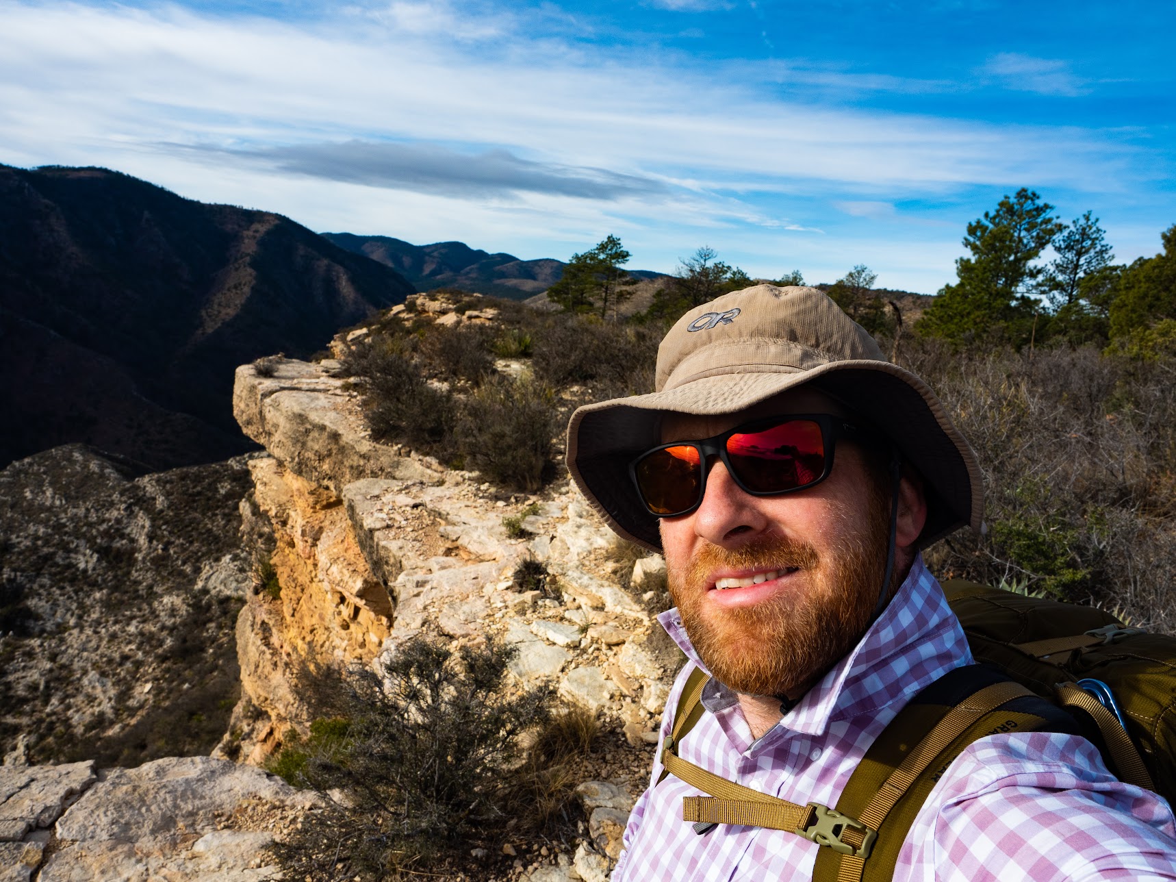
Hiking 100 miles in 5 days: the Guadalupe Ridge Trail
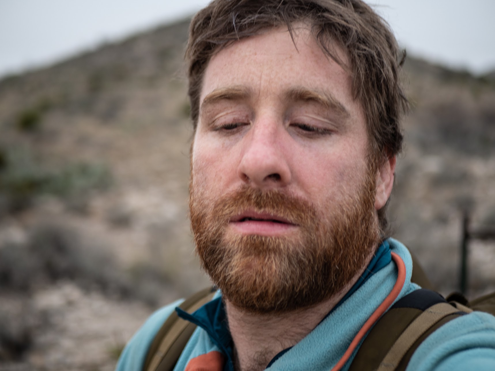
In early December 2019 I solo-hiked the Guadalupe Ridge Trail (GRT), a 100 mile National Scenic Trail in Texas and New Mexico. The trail goes from Guadalupe Peak (near Pine Springs) to Carlsbad Caverns, via Sitting Bull falls.

I had a couple of months between my last day at Amazon in October and my first day at my new job. For most of my time in Seattle, I thought I was too cool to just... walk... for fun. But earlier in 2019 I did the Annapurna circuit in Nepal, and that somehow changed my mind. Just walking all day, not being on the internet, making my body earn each meal, and having time to clear my head turned out to be quite refreshing. I had been bitten by the hiking bug! But early December in Seattle is cold. The mountains are snowy, but not with enough snow to ski or ski tour. So I started looking for places to go that would be warmer and/or snow-free. It was a bonus if they were in a state I'd never been to. I looked into a few options, like Big Bend (too far from an Airport) and the Florida Trail (I couldn't figure out which section to do), but I settled on the GRT.
Day 0: Getting There
I flew to El Paso, even getting my Vargo Dig Dig trowel past the TSA, and stocked up with food at Walmart. I later learned that this Walmart was the site of a mass-shooting earlier in the year, which is incredibly sad. That makes the second mass shooting site I've been near. The other was at Seattle Pacific University, near where I used to live in Queen Anne.
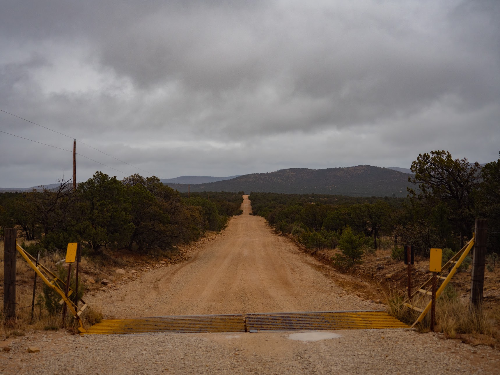
After packing and portioning all my food, it was time to get to Pine Springs, TX to start the hike. I had chosen to go from South, to North. It seems like this is the opposite direction to what most people do, based on my spirit guide u/MinimalBackpacker, and the only other accounts (one, two) of the trail I could find online. I thought that moving Sitting Bull falls from mile 40 to mile 60 would make it a more refreshing and de-smellifying break. I also thought that finishing in Whites's City where there are motels, and restaurants was more appealing than finishing at the Pine Springs campground, since I was doing this without a vehicle.
The nearest Greyhound stop to Pine Springs is at Dell City, over 24 miles away. And at a 2+ hour drive from El Paso, it seemed a little long to try and take a taxi or Lyft/Uber. Even if I felt like paying several hundred dollars to rent a car, doing a thru-hike meant that I would still have to do some kind of shuttle. So, I settled on hitchhiking as the easiest way to get there. From the outskirts of El Paso this guy Angelo (I hope I remembered his name correctly) said he could take me as far as "the checkpoint". I got in, but was slightly nervous about what this checkpoint was, and very glad I had brought my green card and passport with me. After getting dropped just before this checkpoint I nervously walked past all the security and x-ray cameras to the bemused border guards, who questioned me for a second, but then switched quickly to offering me water and looking at me with pity. They didn't even check my papers!
After the checkpoint I got another ride, and I'm annoyed at myself that I cant remember his name. But, it's probably for the best that I can't blab to "Diana 2" that she came up as "Diana 2" when she called him. After some confusion, it turned out that we were going the same direction and he was able to drop me at Pine Springs just before sunset.
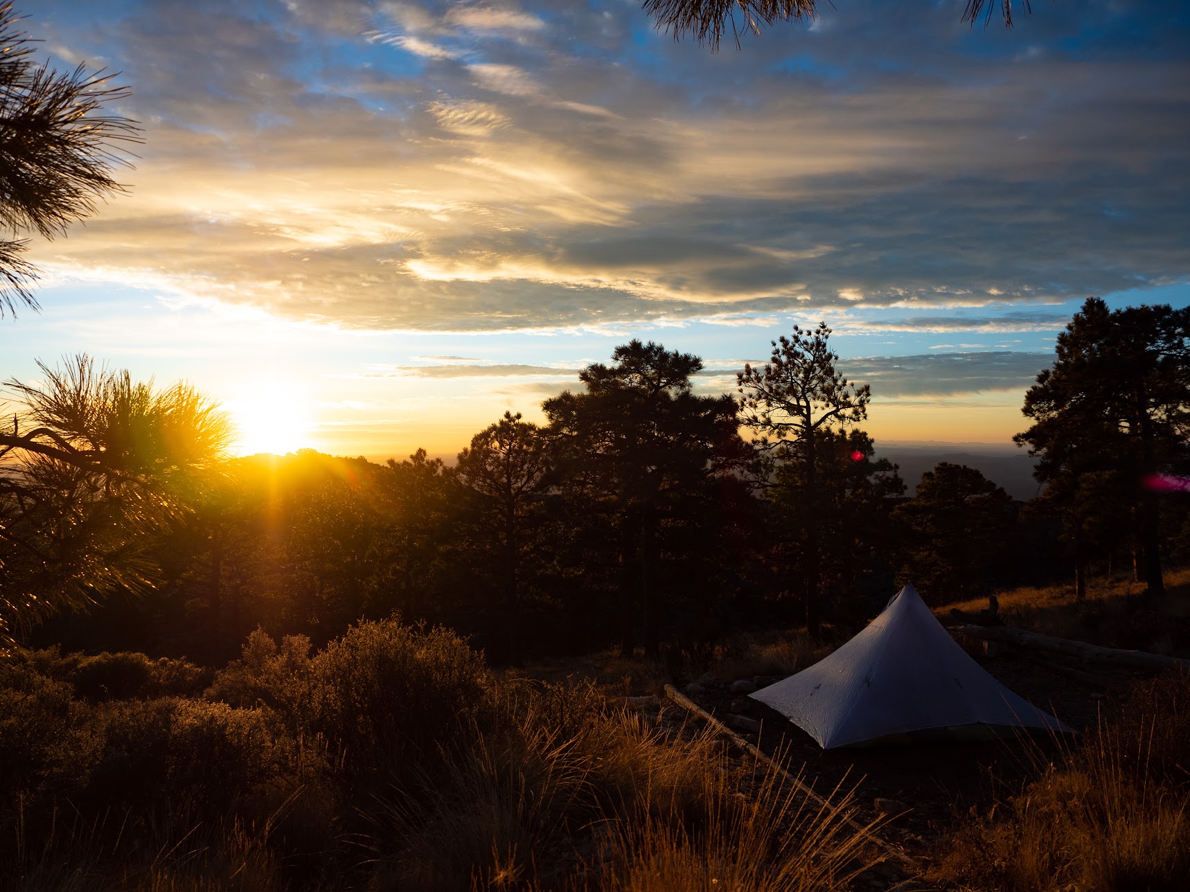
It was a couple of hours of hiking in the dark to get up to the Guadalupe Peak campground, so I would be close to the peak in the morning.
Distance: 3.5 miles (5.6 km).
Time is an illusion
El Paso and New Mexico are on Mountain Time (GMT-7), while most of the rest of Texas is on Central Time (GMT-6), and most of my devices were still on Pacific/Seattle time (GMT-8) for this trip. I am going to attempt to use Mountain Time for the rest of this post, although frankly I was pretty confused about what time it really was several times. So if I gain, or lose an hour here or there, please forgive me!
Day 1: there is no spoon
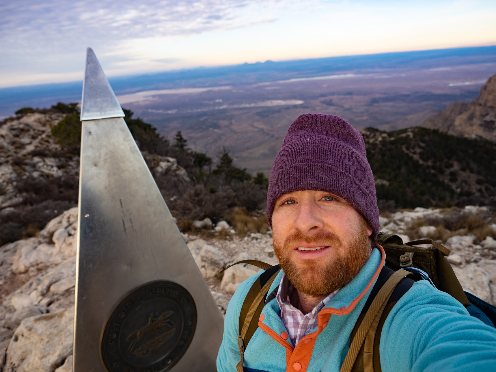
I was planning to get up very early and see sunrise from the top of Guadalupe Peak, but in unsurprising DR Griffin fashion I slept in. Nevertheless, I managed to set off at 6.55AM mountain time with a day pack for Guadalupe Peak.

Distance: 18.2 miles (29 km). That includes an extra 2 miles doubling back for my spoon.
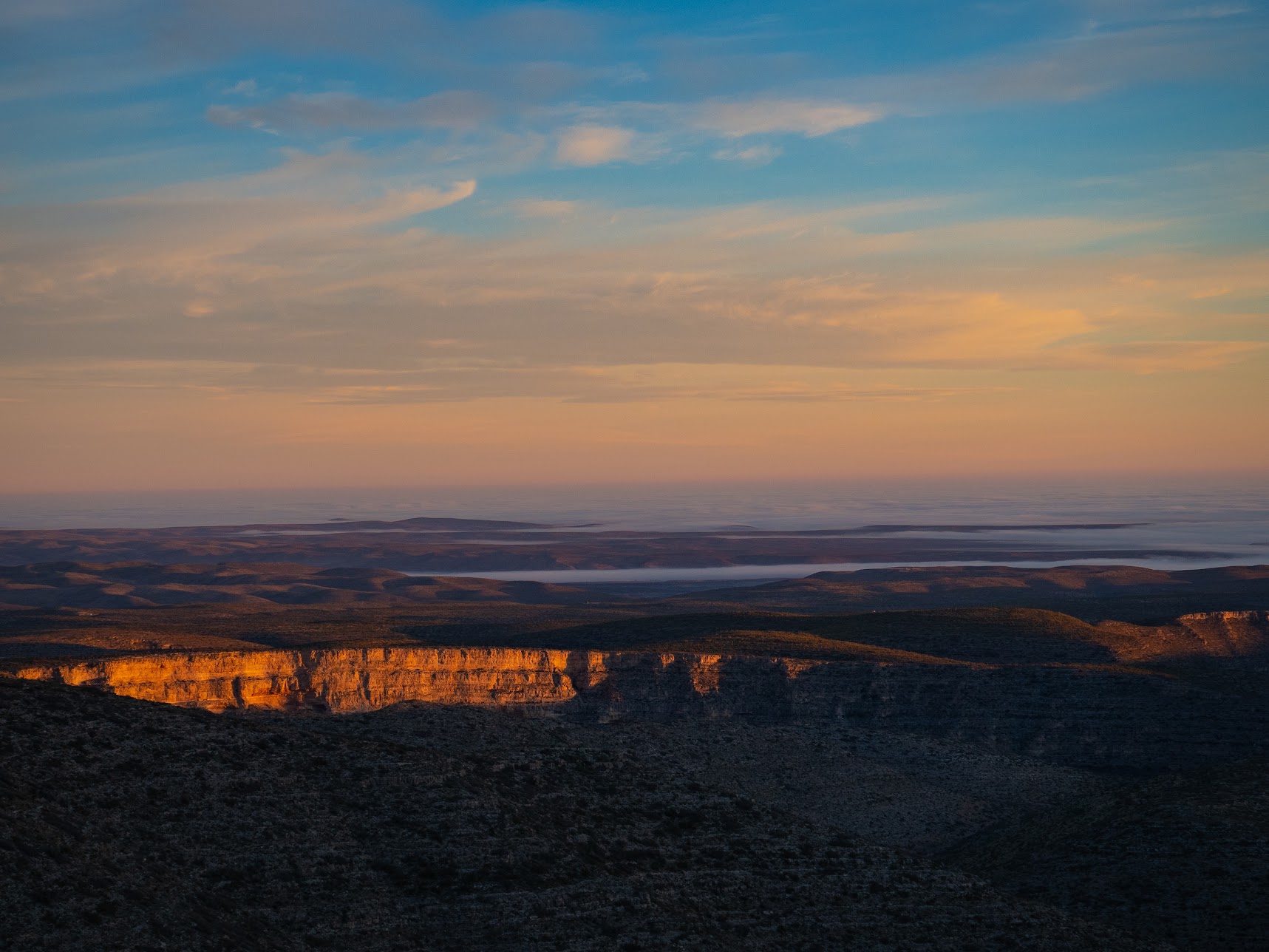
Day 2: glad I'm not climbing up that!
After making less distance than I had planned to the previous day, I still had quite a few miles to get to the McKittrick canyon trailhead and it's all important water.


Distance: 24.7 miles (39.5km).
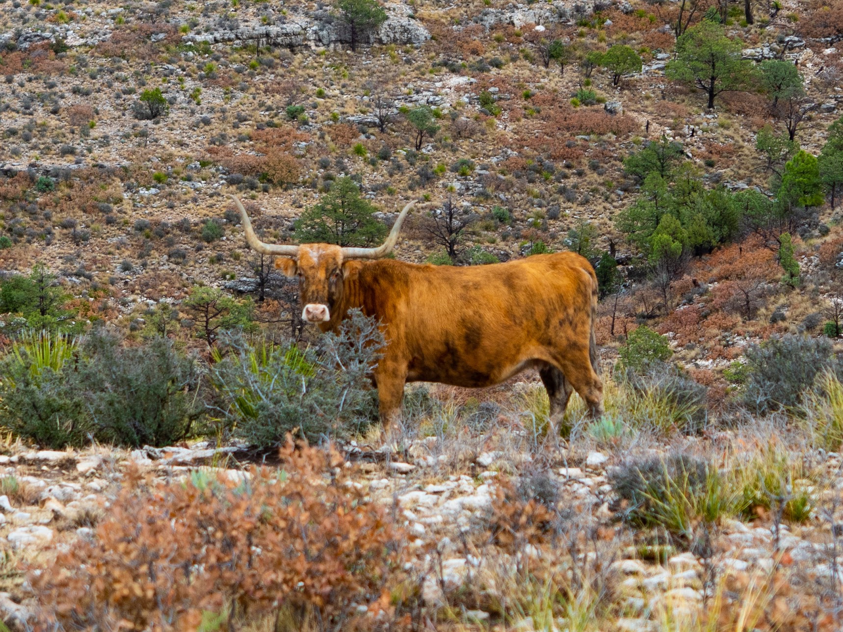
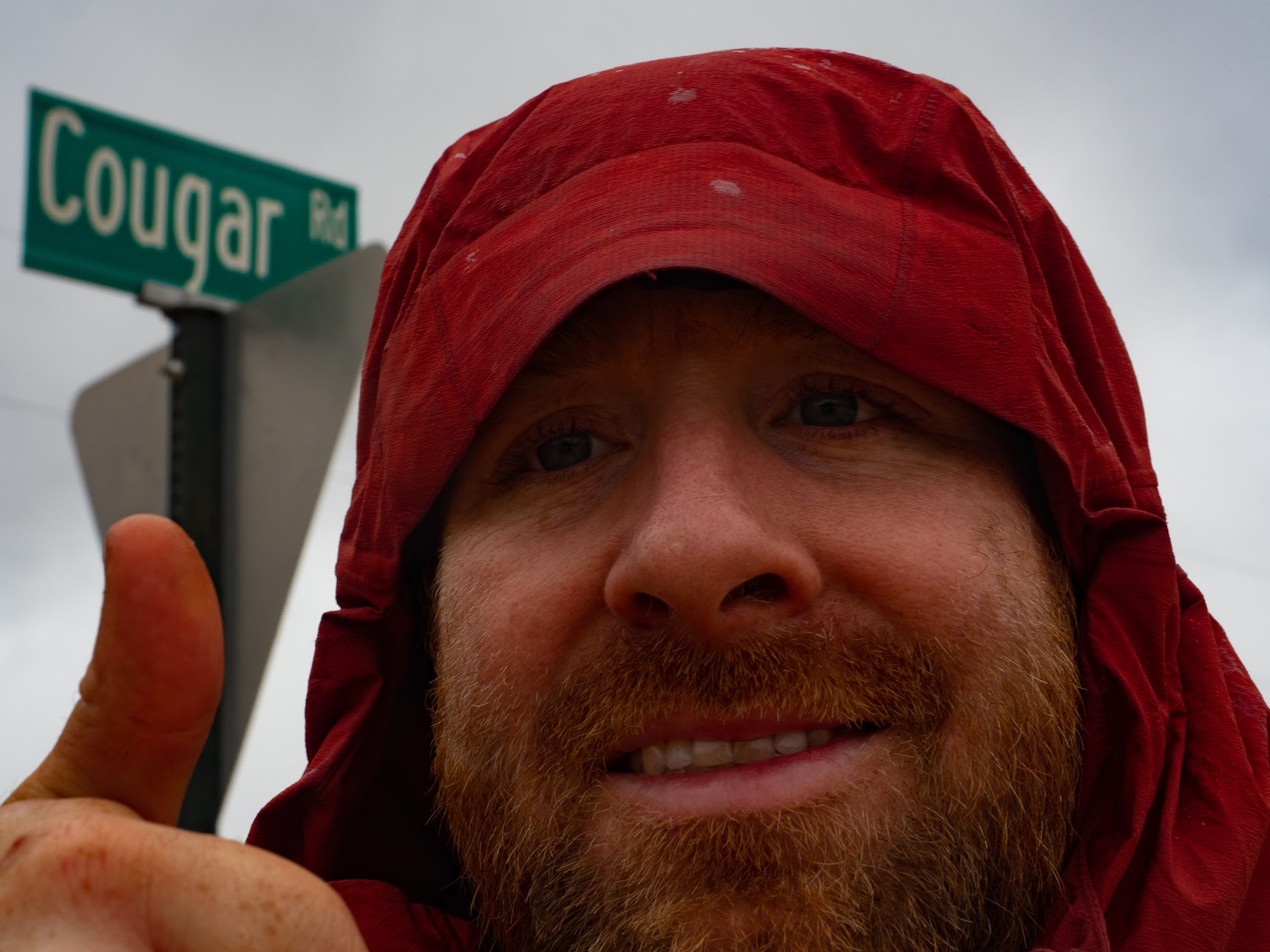
Day 3: cows and roads
I hadn't done as many miles as I had hoped in the first two days, as I was kind-of trying to finish the whole trail in 5 days. Starting at Black River Spring, todays goal was to get as close to Sitting Bull falls as I could. There wasn't much water at the first place I was hoping to find it, but there ended up being several other water sources along the way.
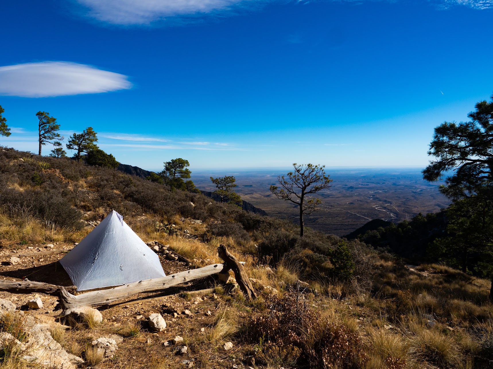
Day 3 was a success in that I had minimal navigation SNAFUs, was setting up my tent with daylight left, and had plenty of water.
Distance: 19 miles (30km).
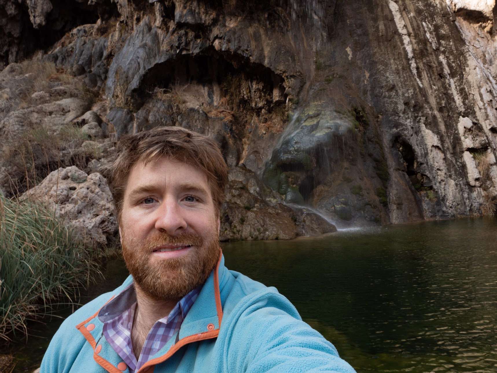
Day 4: cold, but clean
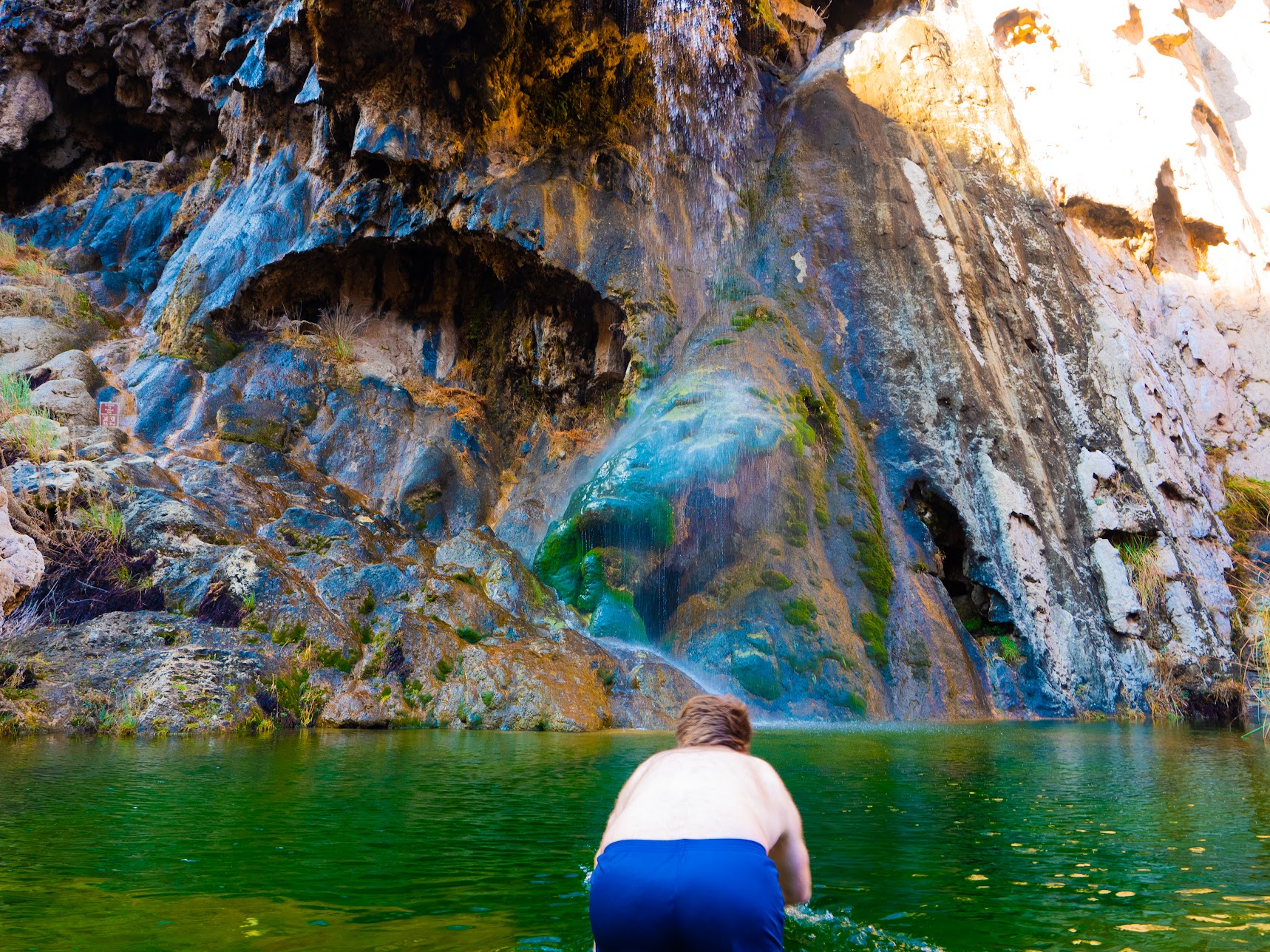
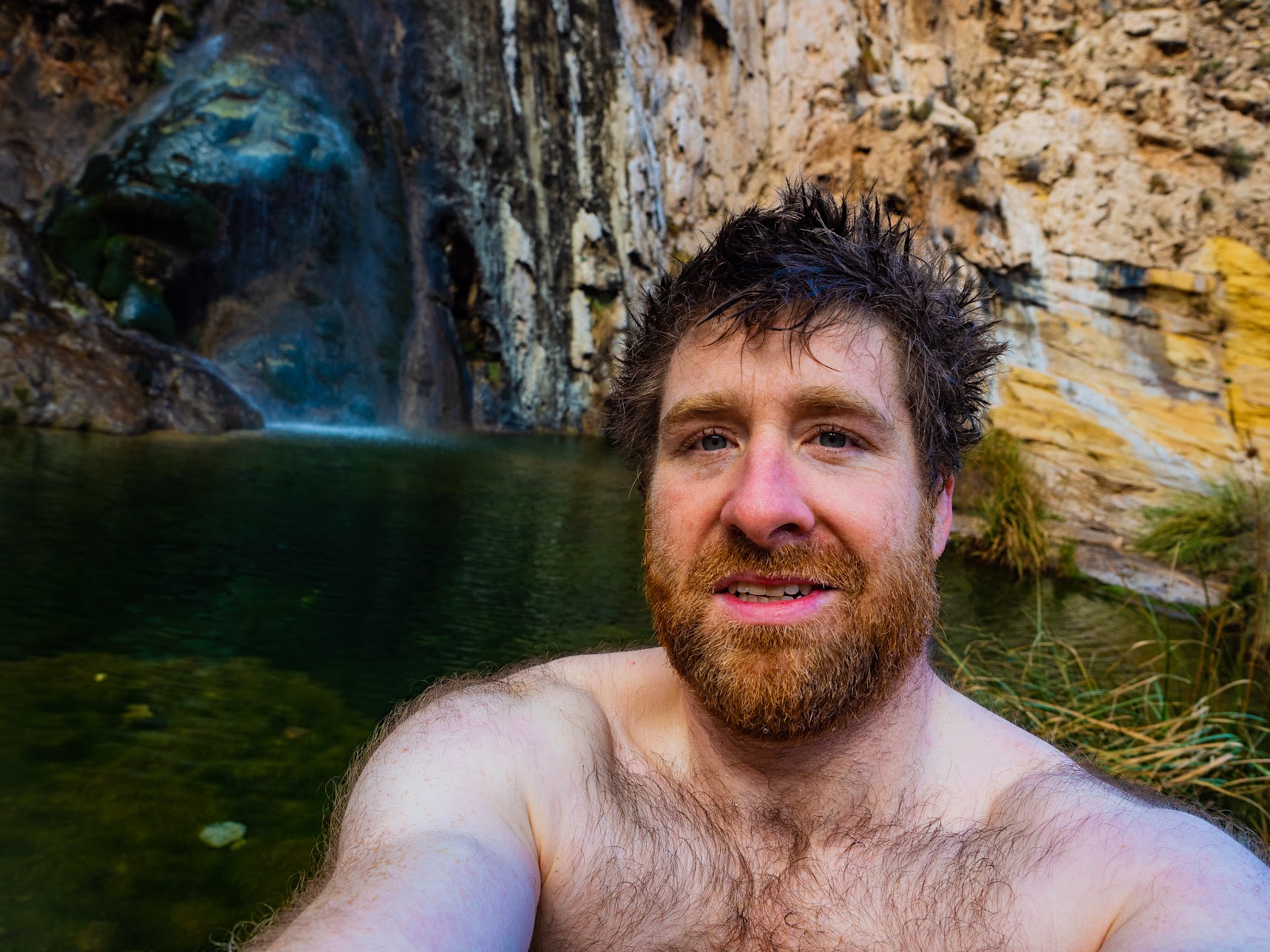
The plan for today was to head down to Sitting Bull falls, have a brief swim to wash off the smell of the last 3 days, and then see how far I could go before I ran out of daylight.

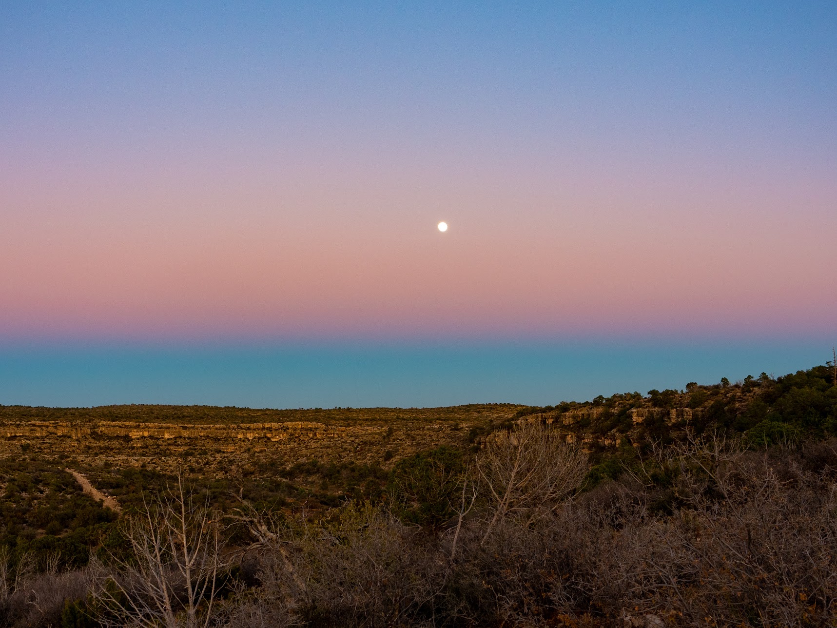

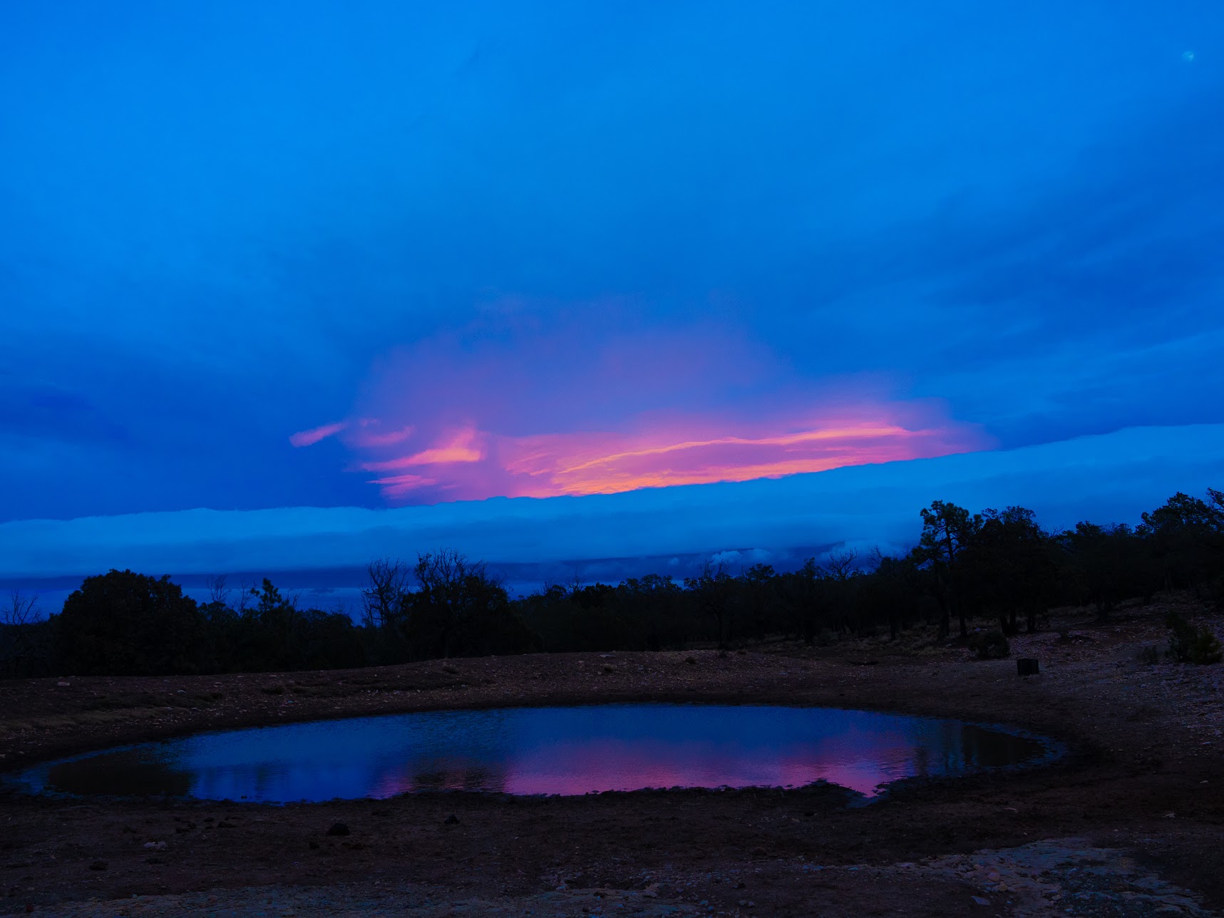
It is at this point that I turned this from a long hike into an "adventure". I had beta that there was water at Agua Dulce Seep. But going that way would have added a few extra miles. There were other places nearby that I thought might have water, like Taylor Tank, Bearup Well, and Horse Spring. I got to Taylor Tank at around 9pm. There was water in the dam/tank, but it wasn't running water, and clearly had lots of attention from cattle and wild animals. I filled up, but was trying to avoid drinking that water without boiling it (even though I was using a filter). After stopping for dinner and a nap I decided to press-on. The moon was full and there was not a cloud in the sky, so I thought, why not?
Well one reason why not was that the the turn-off to go via Horse Spring was basically impossible to find. But that seemed like the shorter route. Maybe it was because I was doing it at night, but the trail from Taylor Tank to horse spring is very hard to follow, and you often end up scrambling around bushes and walking up the dry creek bed. In Australia we use the slang "bush-bashing" instead of "bush-whacking". Through this whole section I kept thinking of the phrase "cactus-bashing". But I persisted and got to Horse Spring just after 11. Horse Spring had some water, but it's unclear if it was rainwater collecting in the rocks, or had actually come from the spring. Again I collected water, had some snacks, a hot chocolate, and had to think about what do do next.
From Horse Spring there was basically no water on the rest of the hike until Carlsbad Caverns, or around 20 miles. This is around the same distance I had done from the Pine Springs campground, to the McKittrick Canyon campground, so I knew I could do it. I had also heard there was pretty much no shade for the Carlsbad Caverns section, so even though it was December, doing it at night had a certain appeal. Another part of my reasoning is that I didn't think I would be able to get to Carlsbad Caverns before closing time if I waited until daylight, and I didn't want to spend another day coming from Whites City back up to see the Caverns. There is also no camping allowed in the Carlsbad Caverns National Park, so you basically have to commit and go from Horse Spring (or just after it) in one day.
Between the shade issue, the appeal of finishing the hike and visiting the Caverns in 5 days, the clear skies, and the full moon I decided to push on.
Day 4: 20.9 miles (33km).
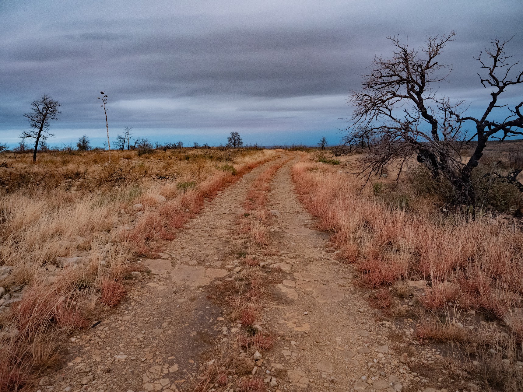
Day 5: no pain, no gain
I reset my Garmin track at around midnight after leaving Horse Spring, so I'm calling everything after that "Day 5".

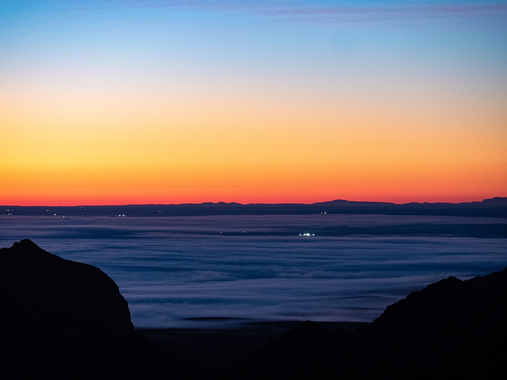
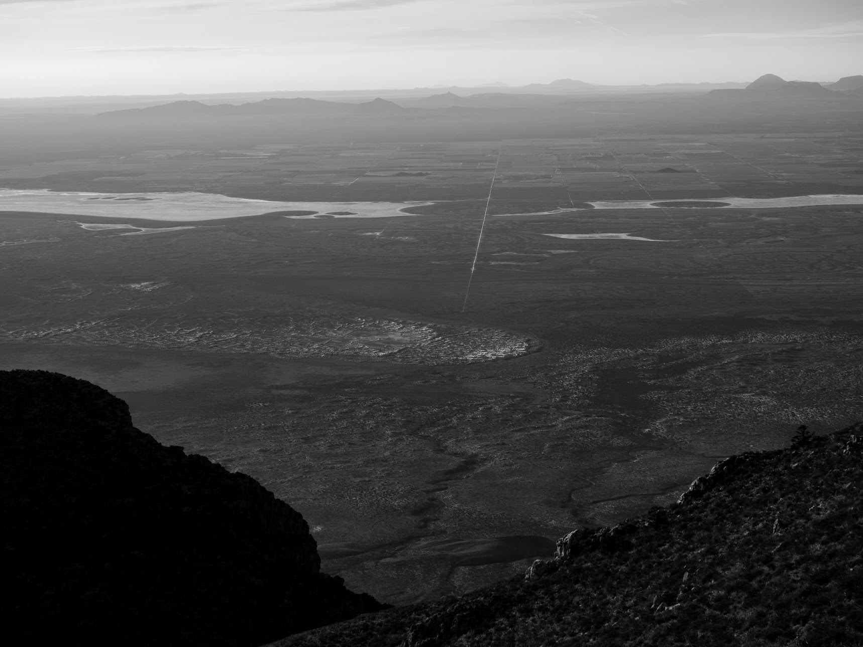
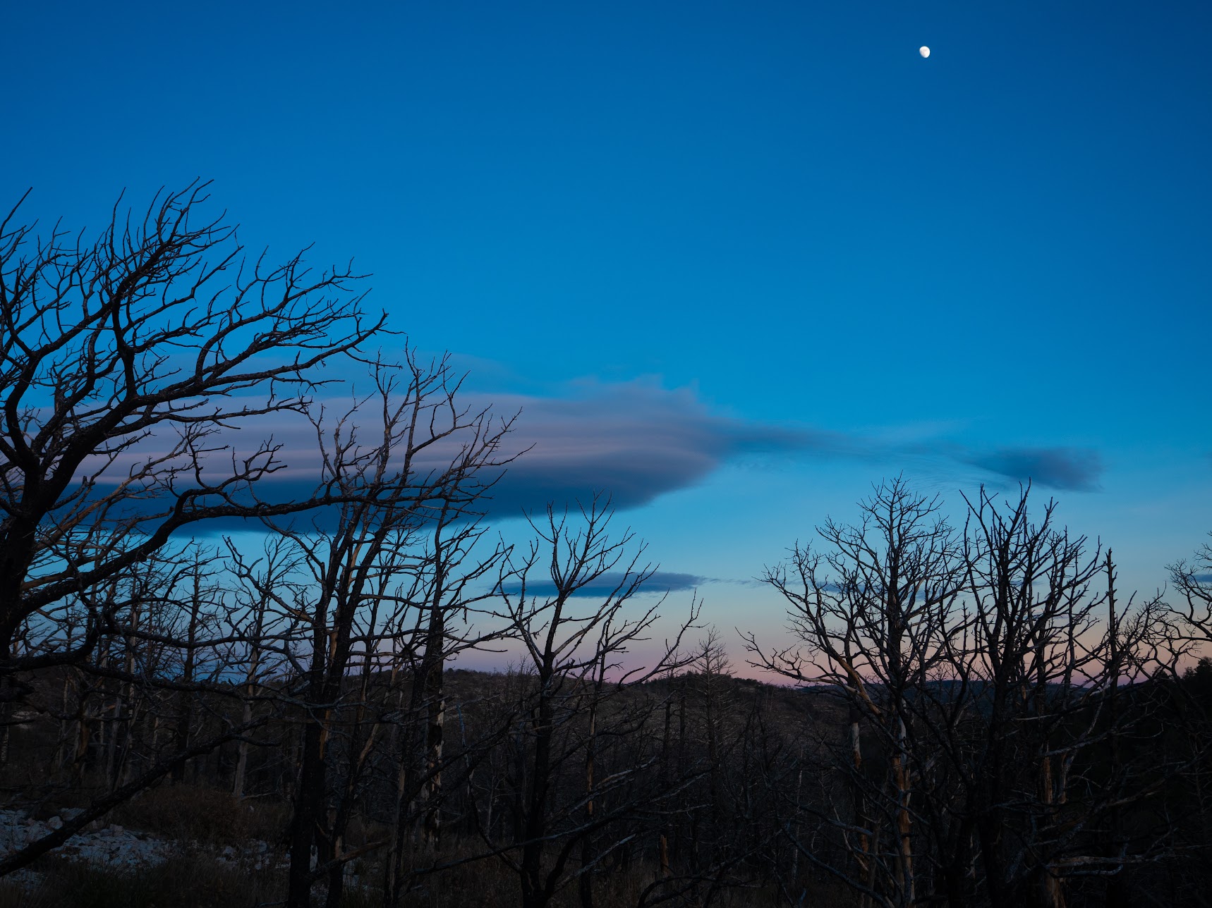
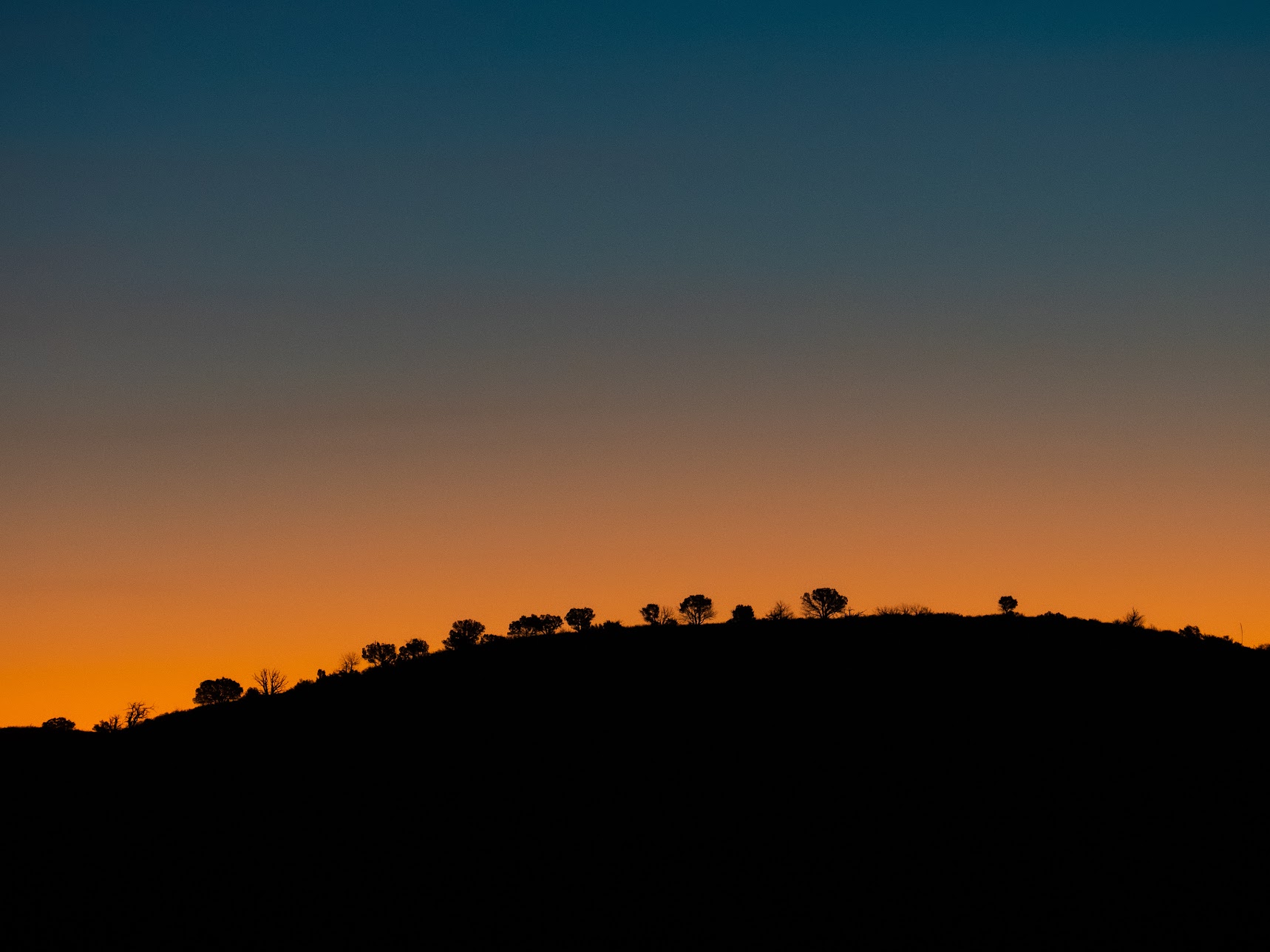
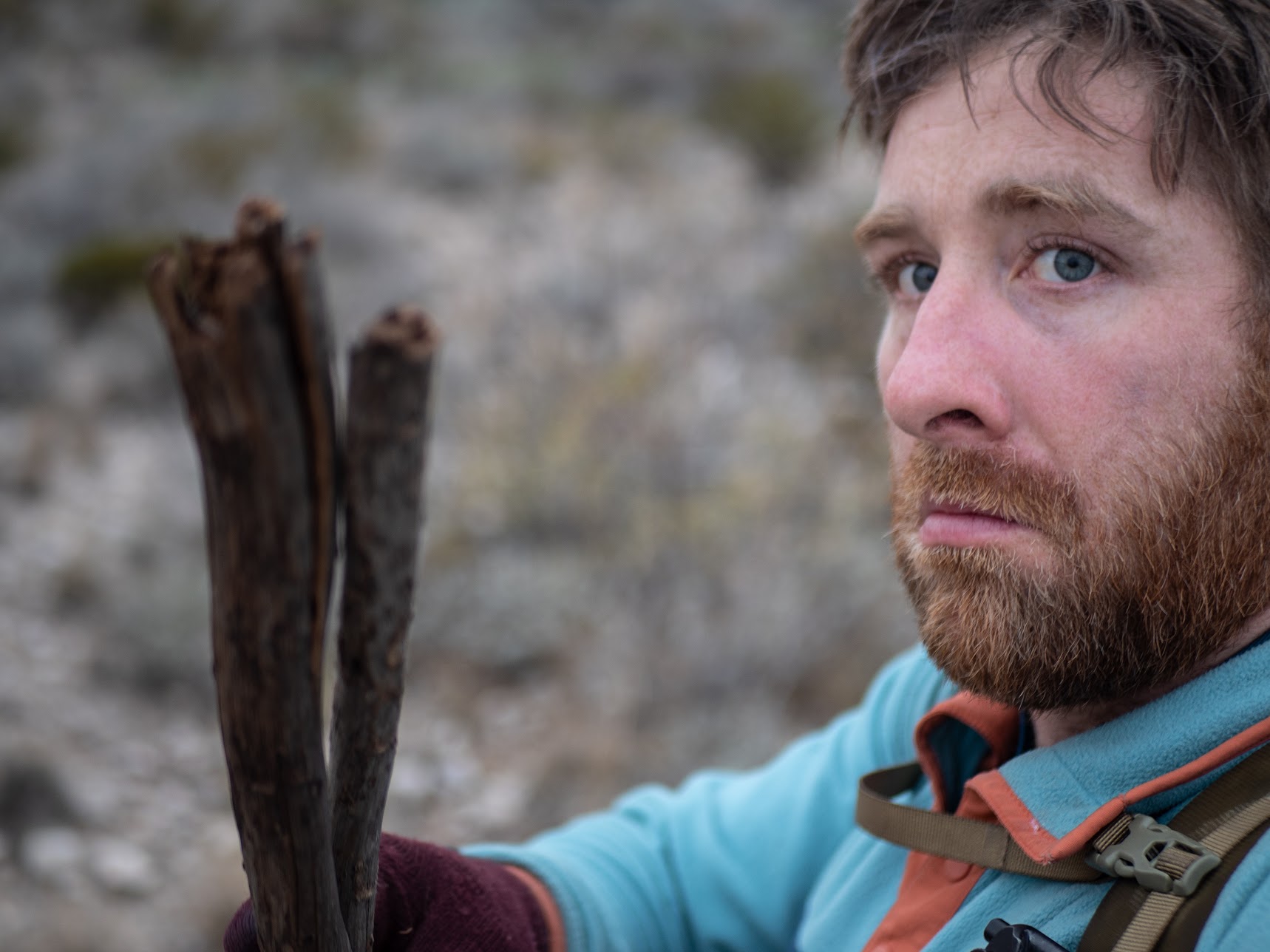
This morning was probably the most beatiful part of the hike, but it was also the toughest to get through mentally. While taking some of these pictures of the sunrise, I managed to leave my trekking pole somewhere. This was actually the second time on this trip I left my pole behind, the first at the end of Day 2 near Black River Spring. Added to the spoon fiasco this really frustrated me. Sometimes when you have a bad habit you can't kick (losing gear in this case) it's all the more frustrating when you do it again. I did go back for a while to see if I could find it. But since I couldn't even remember exactly where I left it, and I only had limited water; I couldn't just re-trace my steps until I found it. Also, the trail (allegedly a road, but very overgrown) was hard to follow at this point, so I wasn't even sure that I left it on the trail. If I had left it even slightly off the trail, there was a good chance I wouldn't find it. All of this is to say, this time I wasn't getting my pole back.
I found a nice stick to replace my pole and made it my mission to finish the hike with that stick!
I had been warned about this section of the hike being somewhat monotonous, and the lack of shade. Lucky for me there was some water (dated from September?) in the "bear box" a few miles before Carlsbad Caverns, so I got some nice fresh drinking water to replace the leafy-tasting water from Horse Spring for the last few miles.
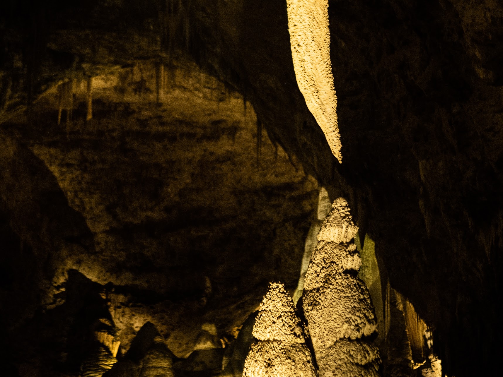
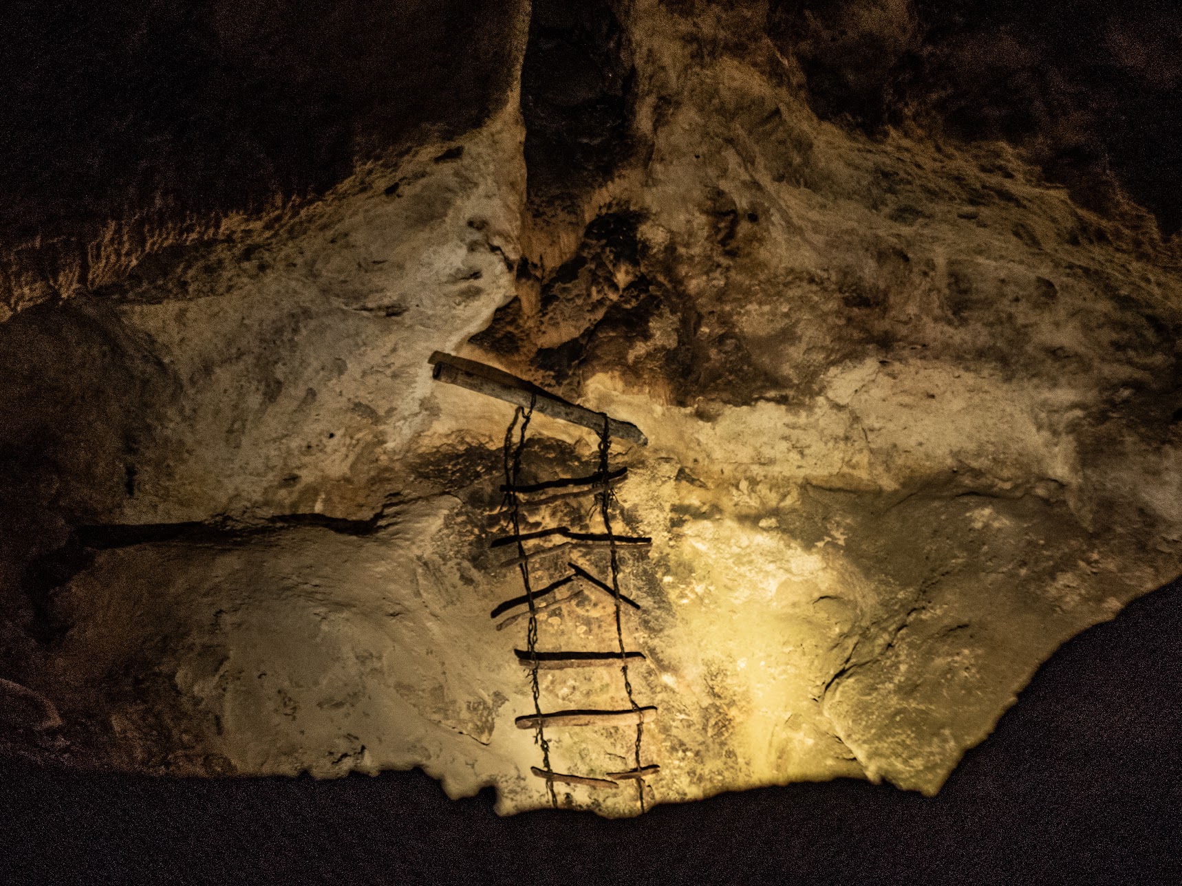
Even with all of my SNAFUs, I made it to Carlsbad Caverns before closing time (don't ask me which time zone).


Day 5: 23 miles (36km).
Total distance: 109 miles (175km).
Day 6: Back to El Paso
After getting a good nights sleep in Whites City I hitchhiked into Carlsbad and then caught the Greyhound Bus back to El Paso.
Final thoughts
I really have to thank u/MinimalBackpacker for the beta he gave me, particularly around water sources. He was my spirit guide for this adventure. This was by far the longest hike I've ever done, and the most taxing. The whole full-moon night hike was pretty cool, but not something I think I'll repeat. I tested my limits to see if I could do a bunch of 20 mile days back to back, and it turns out I can (physically). I think I would need more practice to get to the kind of pace that some PCT and CDT thru-hikers can do. I also need to spend less time backtracking for gear! If I did this again, I think my only major change would be to avoid the Horse Spring trail, and just go via Agua Dulce.
I visited Guadalupe Peak, swam in Sitting Bull Falls, and went down into Carlsbad Caverns, all in under 5 days. I'm pretty proud of that. I'm curious if anybody has done it faster, there are only a few accounts of this hike I could find online.
The Guadalupe Ridge Trail ended up being a fitting finale to 2019. I had several months off work, visited a bunch of places, and now I have several more blog posts like this to write!
Instead of enabling comments on this blog, I'm experimenting with using Reddit. You can find this post on r/drgriffin.